The Leonida map no longer has to be worked out from a folded poster. The game launched today in New Zealand and the first guides have published the whole map. Here is what is on it, area by area, according to the full map from the final game, and how the leaks we covered yesterday held up.
The map in numbers
| Fact | Figure |
|---|---|
| Area | About 175 km² (67.5 square miles) |
| North to south | 16 km |
| East to west | 10.9 km |
| Water | Around 35% |
| Counties | 5 |
| Named districts in Vice City | 23 |
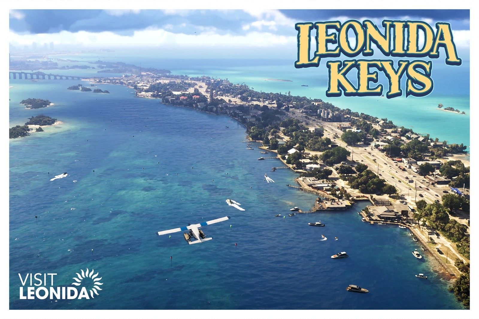
Mariana County: the keys and the swamps
The south of Leonida.
| Area | Places |
|---|---|
| Southwind | Riquezas Keys, Permit Keys, Maroon Key, Abismo Key, Leonida Bay |
| Key Lento | Gambit Bay, Shoeless Keys, Corsair Key, Peregrine Bay, Leonida Straits |
| Pelican Valley | Cottonmouth Lake, Wetman Bay, Gullet Marsh, Pelican River |
| Watson Bay | Bobcat Key, Bobcat Bight |
| Grassrivers | Tola Bay |
| Capri | Tortoise Lake, Capri Sound, Belpoint |
| Mile Zero Air Station | At the southern tip |
This is where the Leonida Keys and the Grassrivers swamps are.
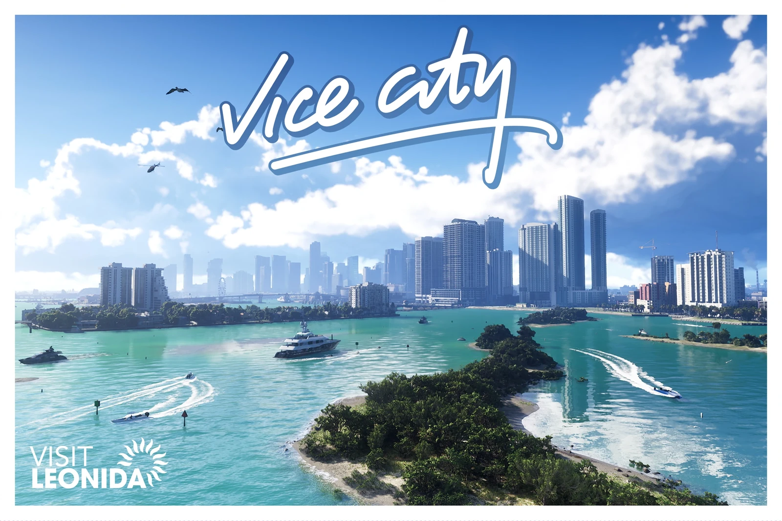
Vice-Dale County: Vice City
The city’s county. Outside the city proper are Hamlet, the airport (VCIA) and Vice Beach, with Ocean Beach and Washington Beach.
The Vice City districts:
| Downtown | Little Cuba | Stockyard | Starfish Island |
| Southside | Peacock Bay | Tequesta | Tequesta Retreat |
| Salton | Rockridge | Crosstown | Bayside |
| La Perle | Balsero | Decor District | Leaf Links |
| Rialto Islands | Waxman Island | Port Vice City | Catalan Bay |
| Catalan Key | Gloriana Key | Dalton Island |
For anyone who played the 2002 Vice City: Starfish Island, Leaf Links, Ocean Beach, Washington Beach and Downtown are back. There is also a district called Little Cuba. Little Havana, Little Haiti, Prawn Island and Vice Point do not appear in the list under those names.
Kelly County: Port Gellhorn
The west coast.
| Area | Places |
|---|---|
| Port Gellhorn | Wild Hog Point, Borrachero Sound, Crude Islands |
| South Kelly County | Gellhorn, Buckskin Swamp, Emerald River |
| Draper Island | Draper Bay |
| North Kelly County | Frogswater, Manifest Canyon |
More on the area in Port Gellhorn.
Leonard County: Lake Leonida
| Area | Places |
|---|---|
| North Leonard County | Lake Leonida, Richard Barebone State Park, Little Hardin Island |
| Belville | — |
| Waning Sands | Leith River |
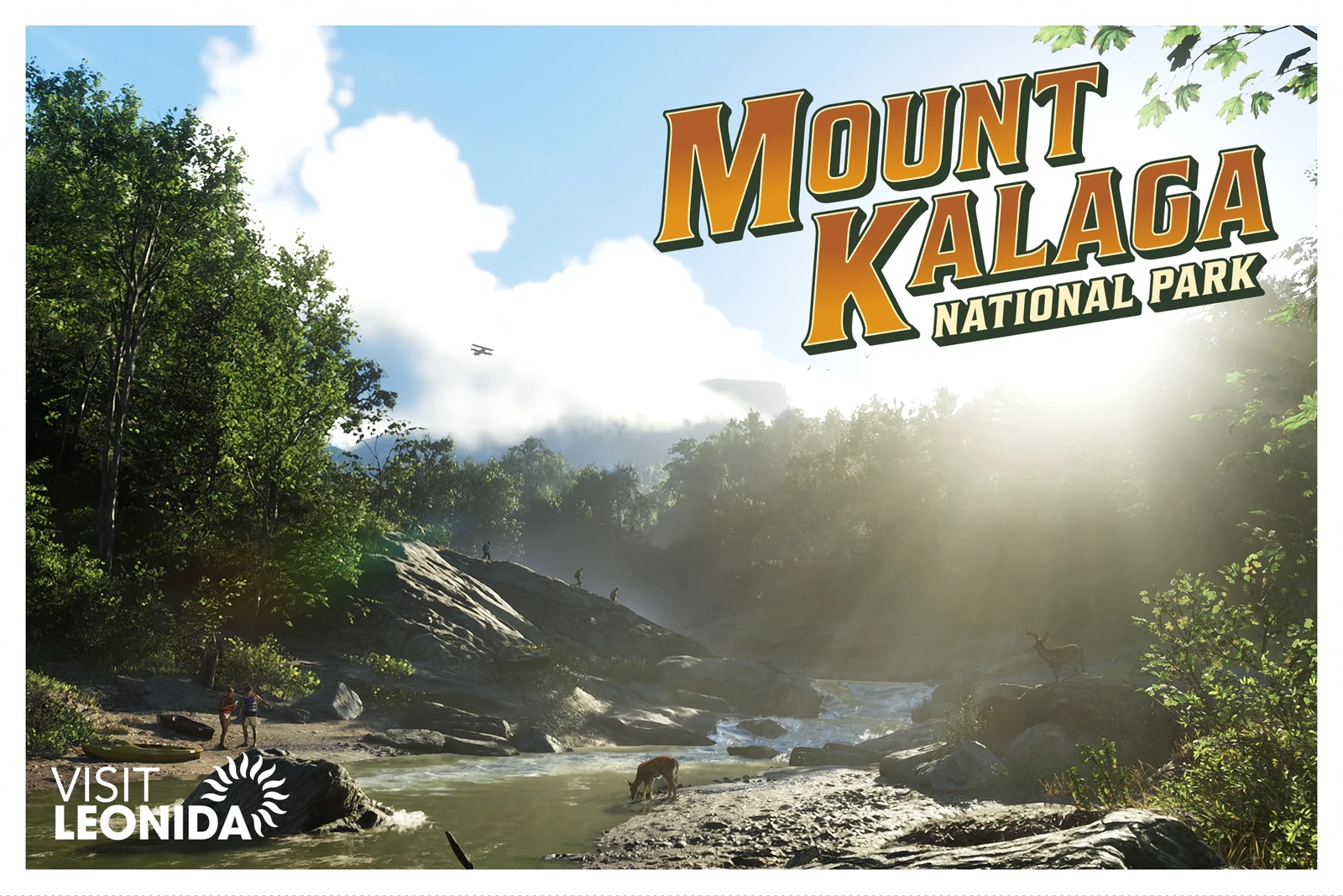
Lummox County: Mount Kalaga
The north.
| Area | Places |
|---|---|
| South-west | Mount Kalaga National Park, Zephyr Islands |
| Grayson | San Malo Bay, Featherstone Islands |
| Bonanza | Moreau, MacAlister Gold Mine, Okchioha Bay, Hyde Island |
| East | Lake Tallaloko, Kalaga Reservoir, Dawson Dam, Partridge Bay |
| Millport | Millport Basin |
Which leaks were right
Yesterday we covered the names readable on the leaked poster from the collector’s box. This is how they turned out:
| Leaked name | On the map? | Where |
|---|---|---|
| Lummox County | Yes | It is the northern county |
| Pelican Valley | Yes | Mariana County. It is its own area, next to Grassrivers |
| Southwind | Yes | Mariana County, in the keys |
| Key Lento | Yes | Mariana County, in the keys |
| Moreau | Yes | Bonanza, in Lummox County |
| Goose Key | Yes, on the official map | Mariana County, next to Mile Zero Air Station |
| Manzana | Not in the list | — |
| The five counties (August leak) | Yes, all five | Mariana, Vice-Dale, Kelly, Leonard and Lummox |
Watson Bay and Stockyard, which Rockstar named when it detailed the Ultimate Edition, were real too: the first is in Mariana County and the second is a Vice City district. See confirmed shops and businesses.
Goose Key appears on the official map, next to Mile Zero Air Station. Manzana not appearing does not mean it does not exist: it may be a minor place or a misreading of a folded poster. Every place on the official map, with its square, is in the official GTA 6 map.
How the map is revealed
The map starts covered in fog and clears as you travel. Flying is fastest: a light plane uncovers all of it in 2 to 3 hours.
A page for every area
Every county, area and district we have data for now has its own page under locations, with what is inside: banks, shops you can rob, gun stores, mod shops, races and activities. A few examples:
- Ocean Beach, the area with the most large banks.
- Stockyard, where the Ultimate Edition shops are.
- Key Lento, in the southern keys.
- Port Gellhorn, the west coast city.
Older pages whose names do not appear on the final map are marked as unverified. We will adjust each place’s position on the interactive map (in Spanish) once we have the official map.
Data from the final version of the game, as of 18 November 2026. We will keep checking and expanding it. Images are official Rockstar Games screenshots.